Report prepared by:
From the University of Leeds: Beth Woodhams, Hellen Msemo, Declan Finney, Sam Hardy, Emmanuel Likoya
From the Kenya Meteorological Department: David Koros
Described by the World Meteorological Organization (WMO) as one of the ‘worst weather-related disasters to ever hit the southern hemisphere’, Cyclone Idai caused devastation over south eastern Africa during the first two weeks of March 2019. Mozambique, Malawi and Zimbabwe were the worst-hit countries, with almost 3 million people estimated to have been affected.
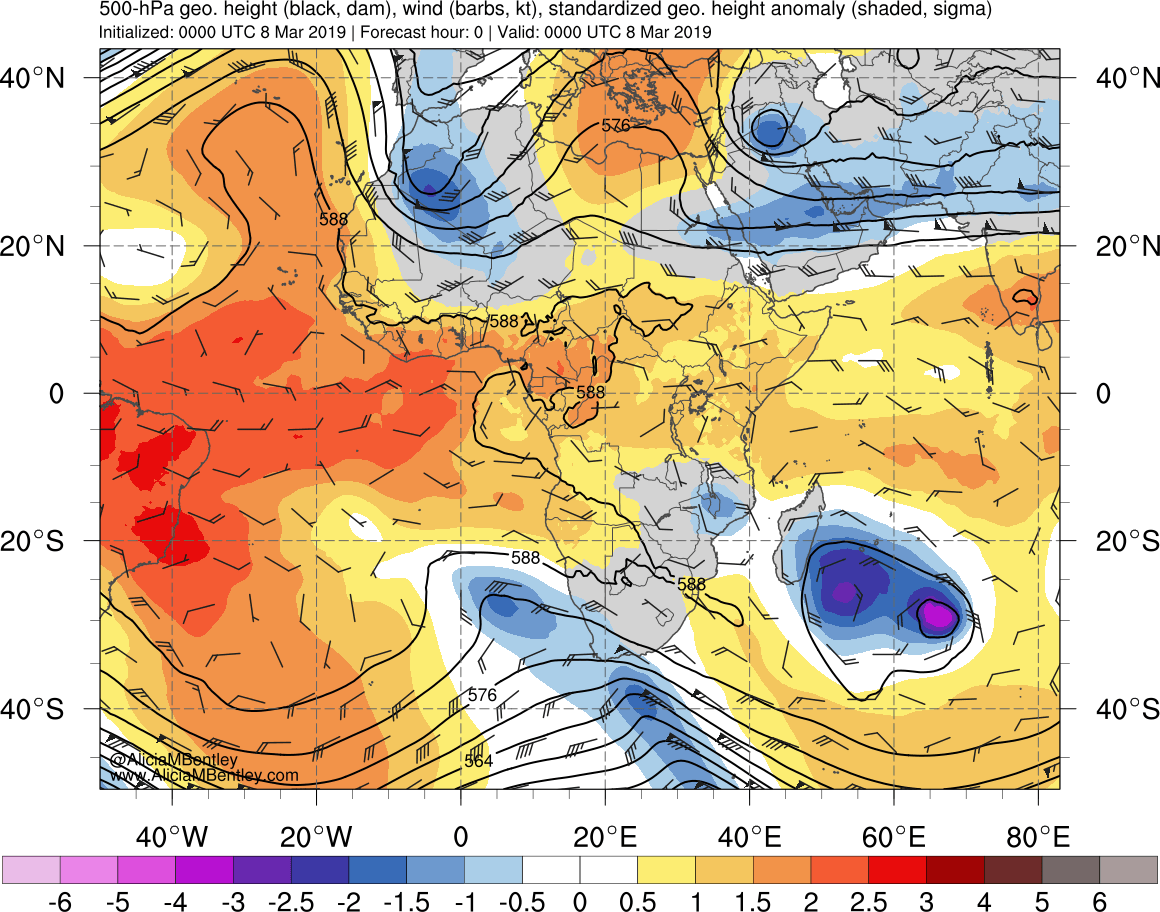
Idai began as a cluster of thunderstorms just off the Mozambique coast. This cluster, with associated wind speeds of ~35 mph, was designated as a ‘tropical depression’ on 4 March. Initially, the system moved northward, weakening to a ‘low pressure system’ as it moved over Mozambique and into southern Malawi. Between 7 and 8 March, the track of the low pressure system looped and curved back toward the east, guided by the steering flow around a near-equatorial ridge to the north. During this time, southern Malawi was particularly affected by heavy rains. The associated flooding caused the President of Malawi to declare a state of disaster.
As the system moved back into the Mozambique channel, low vertical wind shear and high sea surface temperatures (exceeding 30°C) caused it to re-intensify. The system was designated as a cyclone and named Idai at 23Z on 9 March, with wind speeds of ~75mph (equivalent to category 1 on Saffir-Simpson scale).
By 11 March, the near-equatorial ridge to the north had weakened and a subtropical ridge was strengthening to the south-west, causing the cyclone to change direction toward the south west. During this time, Idai strengthened to an equivalent category 2 cyclone. On 12 March, the cyclone underwent an eyewall replacement cycle which temporarily weakened it back to a category 1 storm. Still under the influence of the subtropical ridge, Idai’s track became more westward during 13-14 March and the system strengthened to an equivalent category 3 cyclone, with wind speeds around 125 mph.
Idai made landfall in Beira, Mozambique late on 14 March. Although wind speeds weakened during 15 March as the cyclone moved inland, the remains of the circulation persisted, causing heavy rains in Mozambique, Zimbabwe and Malawi (which was still recovering from the previous flooding).
Cyclone Idai was forecast well in advance, with prediction by the Météo-France La Réunion office that a ‘mature, high-intensity, system’ would make landfall over Mozambique during 14-15 March at least 4 days in advance. During the formation and lifetime of the system, the MJO was in phases 3-4, initially with relatively high amplitude. Klotzbach (2014) have showed that these phases are associated with increased cyclone activity close to eastern Africa in the Indian Ocean.
In addition to heavy rain and flooding in the south, Idai affected countries further north by delaying the onset of the long rains. In Kenya and Tanzania, dry conditions prevailed as moisture influx into the countries was reduced. This delay was not anticipated in the initial seasonal forecast, which predicted a timely onset of the rains. However, both Kenya Meteorological Department and Tanzania Meteorological Agency issued updates to their seasonal outlook to reflect the effect of Idai.
The impact of Idai has been wide-ranging and long-lasting. Whilst it was well-forecast by models and information and warnings generally appear to have been issued, it is unclear whether appropriate actions were taken by organizations working on the disaster risk reduction and the general public.
The GCRF African-SWIFT project aims to increase public trust of weather forecasts by working with meteorologists and decision-makers in the region to improve the communication of severe weather events. The project will also improve methods for forecasting a range of other weather systems in Africa, including storms, squalls and droughts and which are often predicted very badly, in comparison to the relatively good forecasts of Idai.
References
- Météo-France La Réunion. Bulletins CMRS. http://www.meteofrance.re/cyclone/activite-cyclonique-en-cours
- UN Office for the Coordination of Humanitarian Affairs. Malawi: Floods – Flash Update No. 1, 9 March 2019. https://reliefweb.int/report/malawi/malawi-floods-flash-update-no-1-9-march-2019
- UN Office for the Coordination of Humanitarian Affairs. Southern Africa: Cyclone Idai Snapshot (as of 26 March 2019). https://reliefweb.int/report/mozambique/southern-africa-cyclone-idai-snapshot-26-march-2019
- Kenya Meteorological Department. The ‘Long Rains’ March-April-May (MAM) Season Update. http://www.meteo.go.ke/pdf/seasonal_update.pdf
- Tanzania Meteorological Agency. Update of Climate Outlook for March – May, 2019 Masika Rainfall Season. http://meteo.go.tz/uploads/files/MAM%202019%20(English).pdf
- ICPAC. Press release: Drought to worsen due to persisting dry conditions and unusually high temperatures. https://mailchi.mp/icpac.net/press-release-drought-to-worsen-due-to-persisting-dry-conditions
- Klotzbach, P. J. (2014). The Madden–Julian oscillation’s impacts on worldwide tropical cyclone activity. Journal of Climate, 27(6), 2317-2330. https://doi.org/10.1175/JCLI-D-13-00483.1